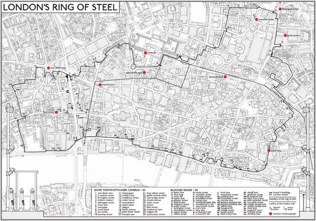
RING OF STEEL (click here for text)
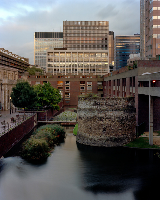
Barbican, 2010
Remnants of London Wall.
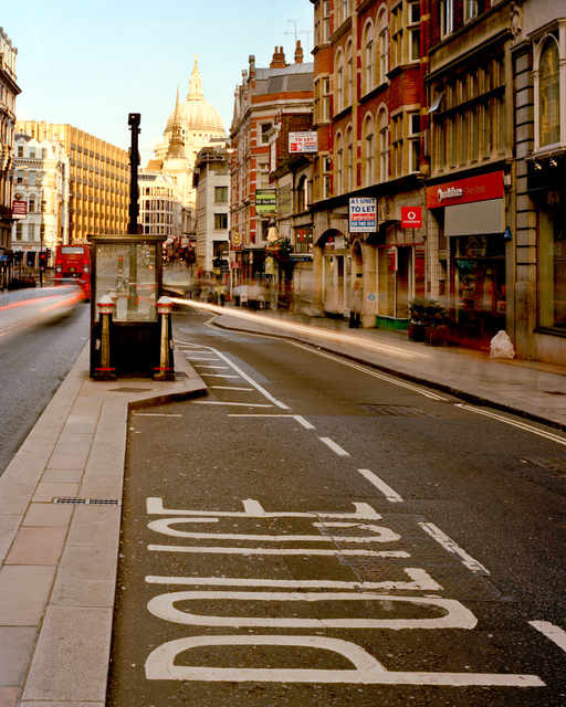
Fleet Street, 2010
Sentry box and CCTV cameras for number plate recognition.
New Fetter Lane, 2010
Sentry box and CCTV cameras for number plate recognition.
Snowden Street, 2010
Bollards and privatised road.
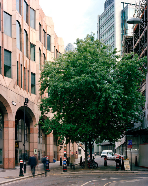
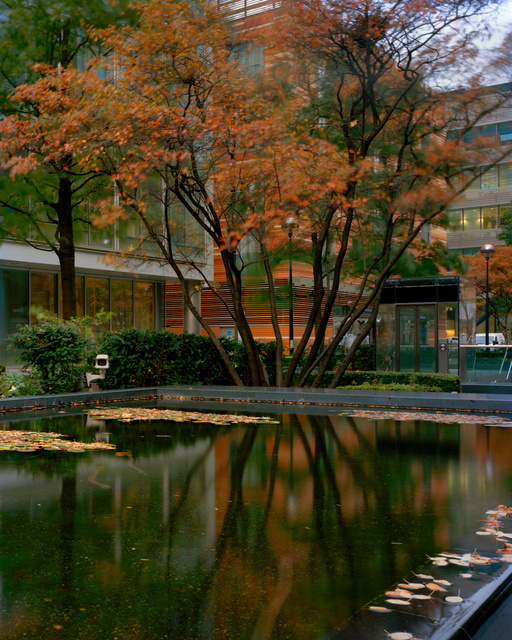
Mark Lane, 2010
Tree planting and road blockage.
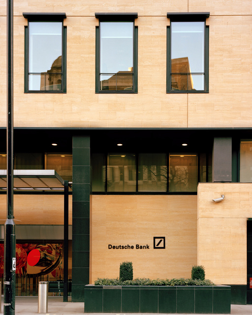
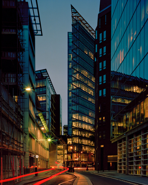
Deutsche Bank, London Wall, 2011
Flower planters made of reinforced steel and concrete with a granite finish.
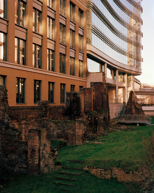
1 London Wall, 2011
Remnants of London Wall.
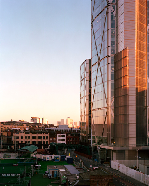
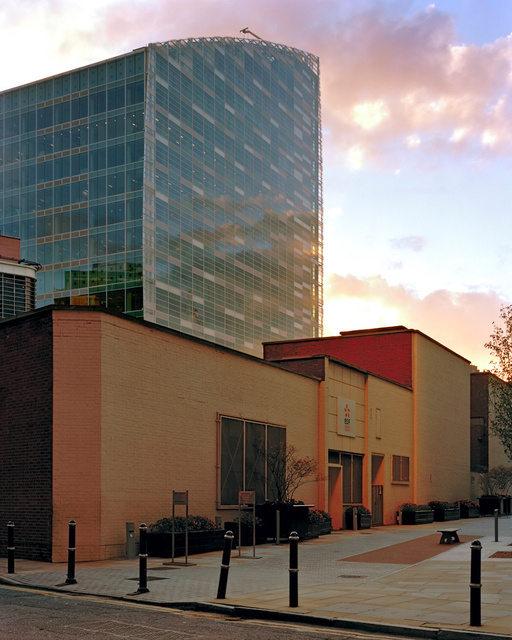
Broadgate Tower, 2011
The edge of the City of London, to the left is the beginning of the borough of Hackney.
Spital Square, 2010
Private CCTV camera within the Ring of Steel.
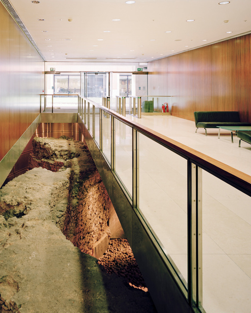
Merrill Lynch, King Edward St, 2010
Roman remains of the London Wall lie in the basement of Merrill Lynch Bank.